EXPLORATION
Hydrocarbon exploration, also known as oil and gas exploration, is the process of searching for deposits of hydrocarbons—such as crude oil and natural gas—beneath the Earth’s surface. This critical activity is carried out by petroleum geologists and geophysicists, who use a combination of scientific knowledge, advanced technologies, and data analysis to identify potential reserves.
Hydrocarbon exploration relies heavily on advanced technology to detect and evaluate potential oil and gas deposits. The process typically begins with gravity surveys, magnetic surveys, or regional seismic reflection surveys to identify large-scale subsurface features. Areas of interest, known as leads, are then subjected to more detailed seismic surveys. These surveys use sound waves to measure the time it takes for reflections to travel through rock layers of varying densities, creating a detailed profile of the subsurface through a process called depth conversion.
Once a prospect is identified and meets the oil company’s criteria, an exploration well is drilled to confirm the presence or absence of hydrocarbons. Oil exploration is a high-cost, high-risk endeavor, particularly in offshore or remote areas. For example, shallow shelf wells (e.g., in the North Sea) can cost between $10–30 million, while deepwater wells may exceed $100 million. In contrast, smaller onshore exploration projects, often undertaken by smaller companies, can cost as little as $100,000 per well.
KP Mahamanou Oil & Gas Limited leverages cutting-edge exploration technologies and strategic risk management to navigate these challenges, ensuring efficient and sustainable resource discovery.
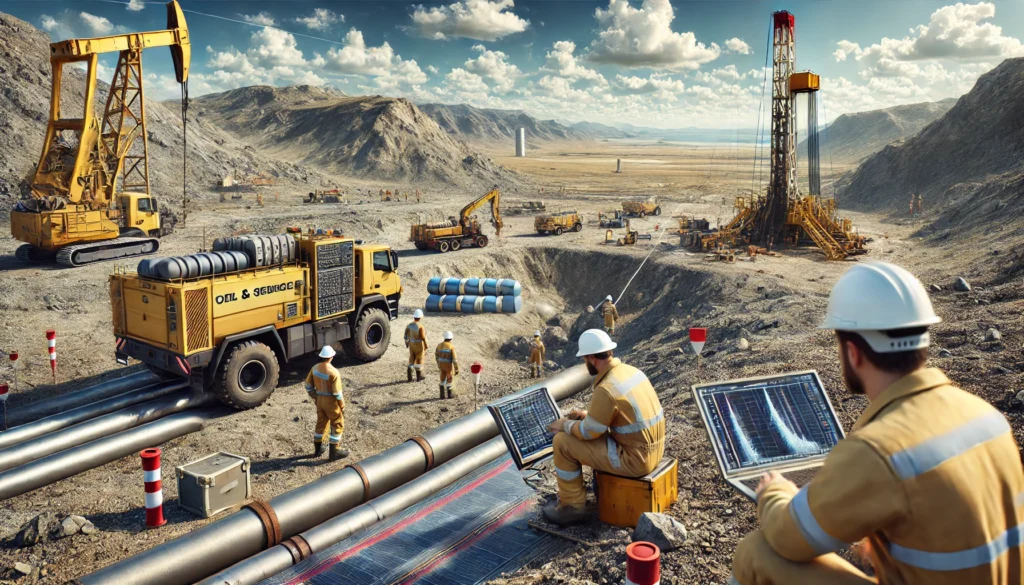


A petroleum prospect is a potential underground trap that geologists believe may contain hydrocarbons. To transform a lead (a preliminary indication of hydrocarbons) into a prospect, extensive geological, structural, and seismic investigations are required. For a prospect to be viable, four essential geological factors must be present. If any of these factors are missing, hydrocarbons will not be found:
1. Source Rock:
Hydrocarbons are formed when organic-rich rocks, such as oil shale or coal, are subjected to high pressure and temperature over long periods. This process, known as maturation, converts organic material into oil and gas.
2. Migration:
Once formed, hydrocarbons are expelled from the source rock due to density differences. They migrate upward because they are lighter than water and the surrounding rock. This movement is driven by buoyancy, over-pressure, and fluid expansion caused by increasing temperature and pressure. While most hydrocarbons reach the surface as oil seeps, some are trapped underground.
3. Reservoir:
The migrated hydrocarbons accumulate in a reservoir rock, typically a porous and permeable rock such as sandstone or limestone. The pores within the rock store the hydrocarbons, and the rock’s permeability allows them to flow toward the surface during production. In some cases, non-porous rocks with open fractures, like fractured granite, can also act as reservoirs.
4. Trap:
Hydrocarbons are naturally buoyant and must be trapped to prevent them from escaping to the surface. Traps can be structural (e.g., anticlines, fault blocks) or stratigraphic (e.g., changes in rock layers). The trap must be sealed by an impermeable rock layer, known as a cap rock or seal, to contain the hydrocarbons.
Risk Assessment in Hydrocarbon Exploration
Hydrocarbon exploration is a high-risk investment, and risk assessment is critical for successful project management. Exploration risk is evaluated by assessing the confidence level in the presence of the four essential geological factors. This confidence is based on data, models, and geological interpretations.
To visualize and manage these risks, geologists use Common Risk Segment Maps (CRS Maps), also known as Traffic Light Maps. On these maps:
– High confidence in the presence of a geological factor is colored green.
– Low confidence is colored red.
This process, often referred to as Play Fairway Analysis, helps geologists objectively evaluate all geological factors and create clear, easy-to-understand maps. These maps enable non-geologists and managers to make informed decisions about exploration projects.
Conclusion
A petroleum prospect requires the presence of a source rock, migration pathway, reservoir, and trap to be viable. KP Mahamanou Oil & Gas Limited employs advanced geological and geophysical techniques to assess these factors and manage exploration risks. By using tools like CRS Maps and Play Fairway Analysis, the company ensures a systematic and objective approach to hydrocarbon exploration, maximizing the chances of success while minimizing risks. This strategic approach underscores KP Mahamanou Oil & Gas Limited’s commitment to efficient and sustainable resource discovery.
